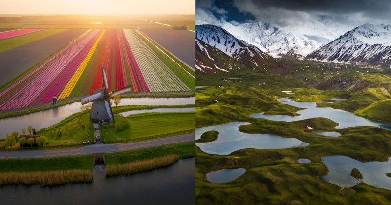
Aerial photography is a different game than photographing from the ground. It’s much more difficult and slower to make a composition and you have to think of all kinds of rules and limitations to get your shot. However, drones opened up many new angles and possibilities when it comes to photography.
I love new technology and I love drones. I mainly use the small drones (Mavic 1 Pro, Mavic 2 Pro) because they’re easy to bring with me in my backpack. I have been photographing with drones for a while now and I want to share some tips on how to take a good photo with your drone.
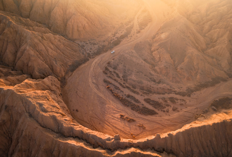
1. Higher is not always better. When you’re flying your drone really high the landscape you’re photographing is often messy with a lot of stuff in the frame. Getting closer and lower to certain objects is often better for your composition. Also, experiment with different heights. You’ll see the distance relation between objects getting larger or smaller. With a drone, you have the flexibility to greatly change this, while from the ground you can only use your own height when you’re holding a regular camera.
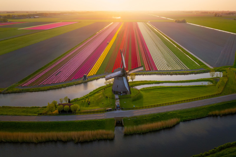
2. Composition: Look for objects and place them in the 3rd grid of your frame. Getting a nice composition from the sky is not that easy but with practice its great fun to look for interesting objects and lines. Use them to lead the viewer into the image, just like shooting with a normal camera. Extra tip: In the mountains, rivers are amazing to use as leading lines from the sky.
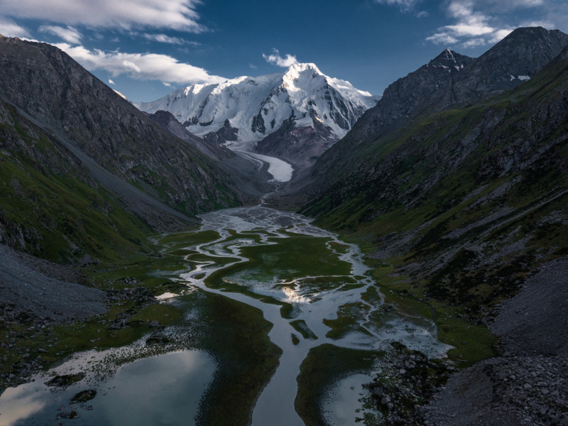
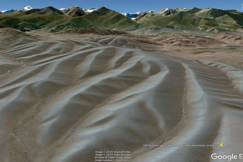
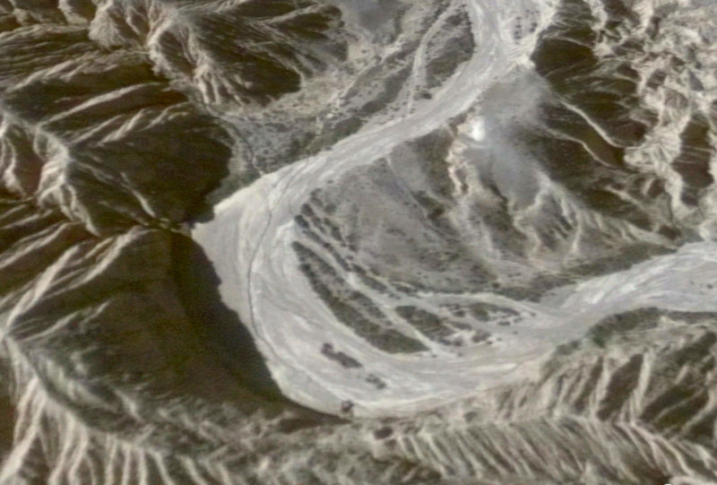
3. Google Earth is your friend. It’s scary how detailed google earth has become. I can scout areas on Google Earth for hours to find shot and I am not talking about only the top down shot. Try the 3D view. It’s scary how detailed it is. You can basically see your own house and car, in 3D. You can angle your shots exactly how you want them to be, see the altitude information and then reproduce them with your drone.
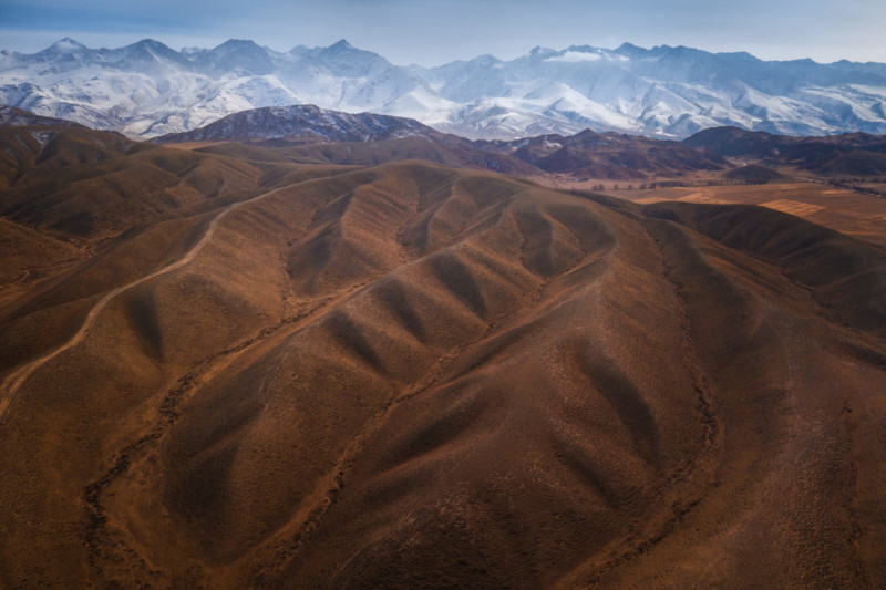
4. A second useful tool is the PhotoPills app. They now implemented a ‘drone module’ where you can scout the map (same as google earth) and you can select your drone and see the exact field of view, altitude, etc. You can save the spots marked in the app and use the app to go to the locations and take the shots. This is only for top-down drone shots.
5. I use a trick called ‘noise-stacking’ When I am shooting photos I often shoot in Burst Mode. The drone will then take 5 shots quickly after each other. By doing this I can greatly reduce noise in my drone shots. The Mavic sensors are tiny and even at ISO 100 they create quite a bit of noise, especially if you’re going to process them. By shooting 5 exactly the same photos I can stack these together, and because they have a different noise pattern in each photo, software can average these and get a clean final shot. The way you do this is:
- Select the 5 photos in Lightroom -> Right click -> Open as layers in Photoshop
- Select all the 5 layers in Photoshop -> Edit -> Auto Align. This will auto align the images incase the drone slightly moved during taking the images.
- Select all 5 layers -> right click -> Convert to smart object.
- Layer -> Smart Objects -> Stack mode -> Mean
The noise is now averaged and you’ll see a cleaner image. Save to get it back in Lightroom.
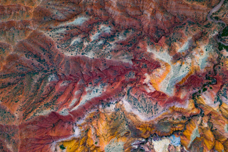
6. Drones do not have ultra wide angle lenses. This is often not needed from the sky anyway, but if you want to capture more than the frame allows, use the panorama option. I actually almost always use the full sphere panorama option. I often only use half or even 1/4 of the pano in the end, but letting the drone do this pano automatically is quite fast and I can pick the right part in post. The automatic drone picture modes on the Mavics are doing a good job in general. Note that I always let the drone save the RAW files of the pano, and stitch them in Lightroom, Photoshop or PTGui.
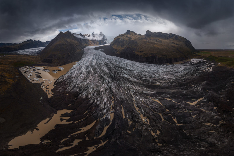
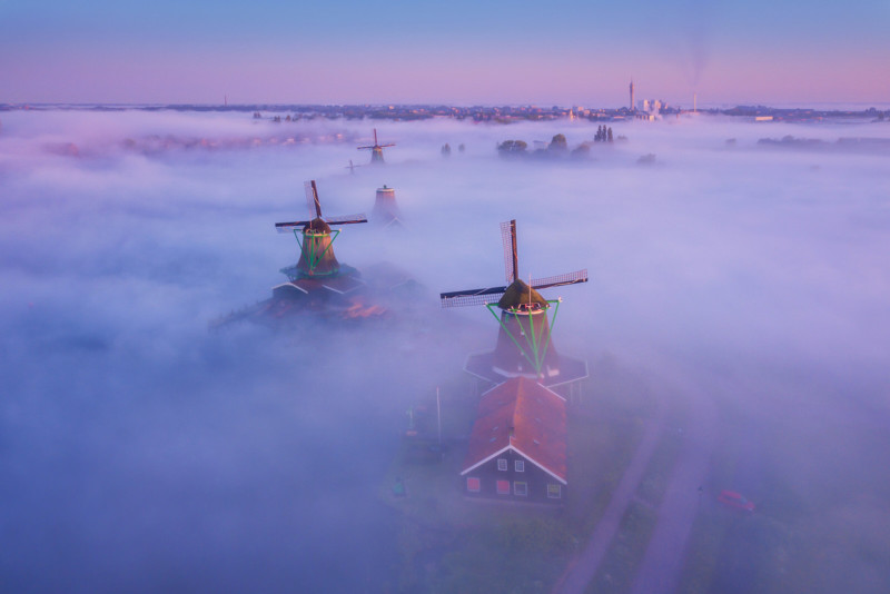
7. Know the right weather conditions to fly. Flying around fog is incredible. It gives a magical atmosphere. Also, backlight objects are really cool with the drone, you can play with long shadows in compositions.
8. Watch your histogram closely and, if needed, do automatic or manual bracketing. The drone usually hovers quite still, so you can even often manually make multiple exposures if you need. Especially when you’re photographing into the sun.
9. Use the right settings. Always use ISO 100 when taking a picture. The quality and noise already greatly decreases with small drone sensors. If you have an adjustable aperture, like on the Mavic 2 and Phantom 4, use around f/4-f/5.6. Don’t think that f/11 gives you the best sharpness. In fact, f/11 is very soft and quite bad quality so try to avoid shooting at this aperture. Bonus tip: Use a polarizer filter if you want to photograph the bottom of lakes, water, etc.
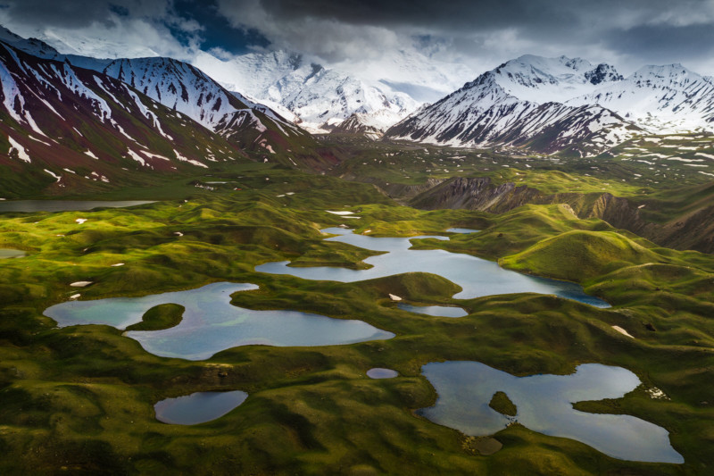
10. Get confident with your drone. In the beginning, I was scared to fly it far away, but having flown so many times now I know what my drone is capable of. I also trust it a lot when losing signal or having problems with my phone. When I press the RTH button, it always comes back.

Last, not really a tip but something important:
Obey the rules but most importantly: fly responsibly. I see lots of ‘influencers’ fly above crowded cities. This is not cool. Not only is it strictly forbidden, but it’s also dangerous for various reasons. Sure, everyone who flies drones flies above a road sometimes, but don’t fly above crowds of people or big cities. This is really giving the wrong example and I really don’t like to see big instagram accounts promoting such shots and activities. Please be responsible.
About the author: Albert Dros is an award-winning Dutch photographer. The opinions expressed in this article are solely those of the author. His work has been published by some of the world’s biggest media channels, including TIME, The Huffington Post, The Daily Mail, and National Geographic. You can find more of his work on his website, or by following him on Facebook and Instagram. This article was also published here.