**Cute Cartoon India Map Illustration for Children’s Learning & School Education**
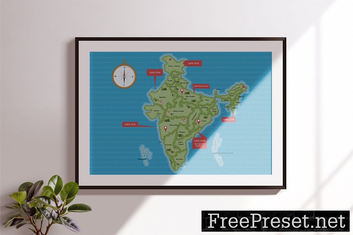
This India Map Illustration, available in Illustrator Ai & Vector EPS formats, offers a detailed depiction of the Indian subcontinent.
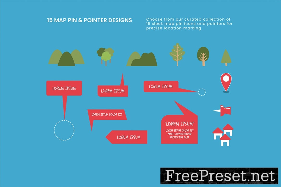
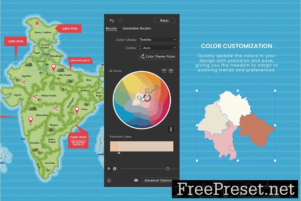
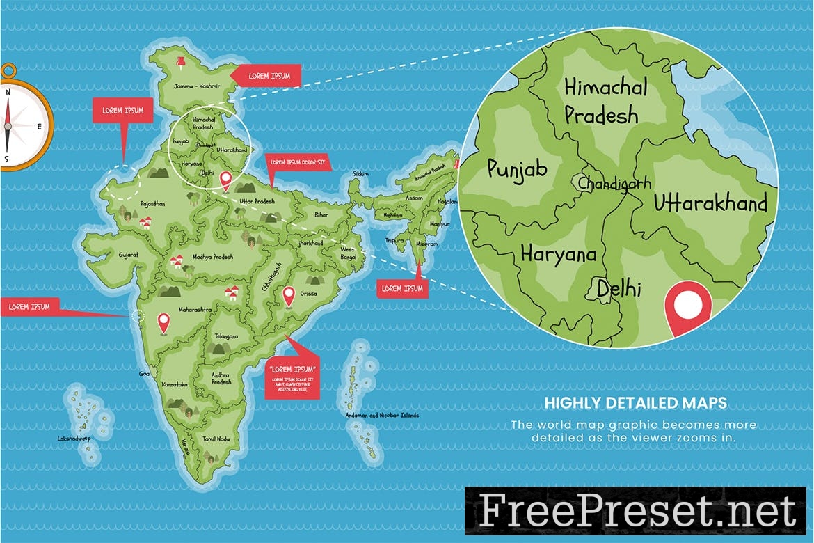
The map features a cute cartoon style, making it well-suited to Children’s geography education projects at school. The map template also includes various extras, including location pins, callouts, a compass illustrations and other map marker icons.
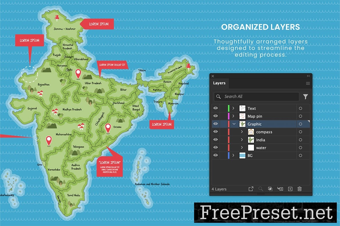
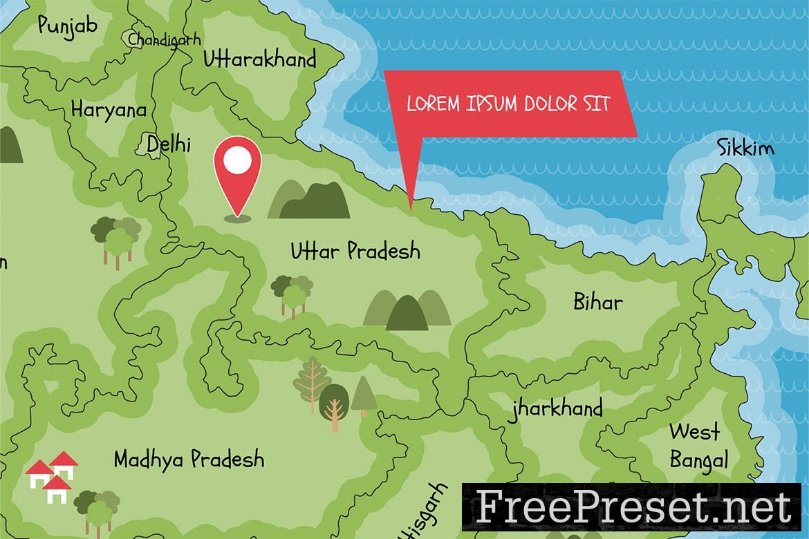
Individual regions are named and key terrain elements are highlighted. Icons and text elements can be removed if not required.
Ideal for globe and atlas enthusiasts, this vector illustration serves as a perfect template for educational projects, travel presentations, or geographic reports. Its accurate representation of India makes it a valuable resource for students, teachers, travelers, and professionals involved in mapping or geographic research.
**Item Specifications:**
* Includes: Illustrator Ai, Vector EPS, PDF
* Final size: 1920×1080 px
* Color space: RGB
_This item comes in Illustrator Ai & Vector EPS formats._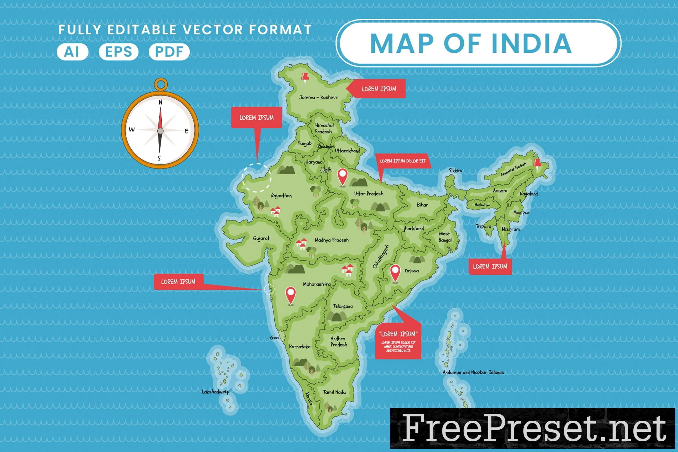
 graphicsFileTypes: AI,EPS,PDF
graphicsApplicationsSupported: Adobe Illustrator
dimensions: 1920,px,1080
resolution: 300,6.4,3.6
Additions: isVector, isLayered, hasDocumentation,
Password Unzip : Freepreset.net
The file is compressed using Zip or Rar format...please use Winrar to extract this file
If you found the link was error , please comment !!!