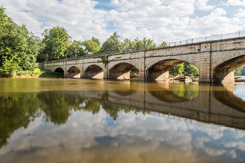
The Monocacy Aqueduct was built around 1830, but it still stands and is a great subject for photographs. It is located near Frederick, Maryland. It spans the Monocacy River just before it empties into the Potomac River.
The aqueduct was part of the Chesapeake and Ohio Canal, and is now a part of the C&O Canal National Historical Park. You can walk or bike across the aqueduct, or photograph it from the banks of the river.
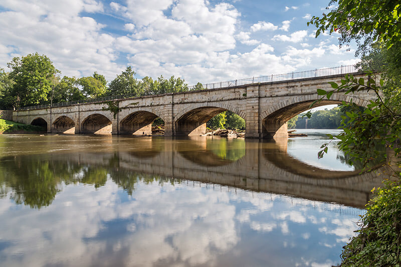
If you are planning a trip, the GPS coordinates of the parking lot are: 39.222262, -77.450075. The parking lot is just a hundred yards or so from the aqueduct. In my opinion, the same side of the river that has the parking lot is also best for photographing. You can photograph it upriver or downriver. If you are looking downriver there is a large area of logs and debris that will be in your shot.
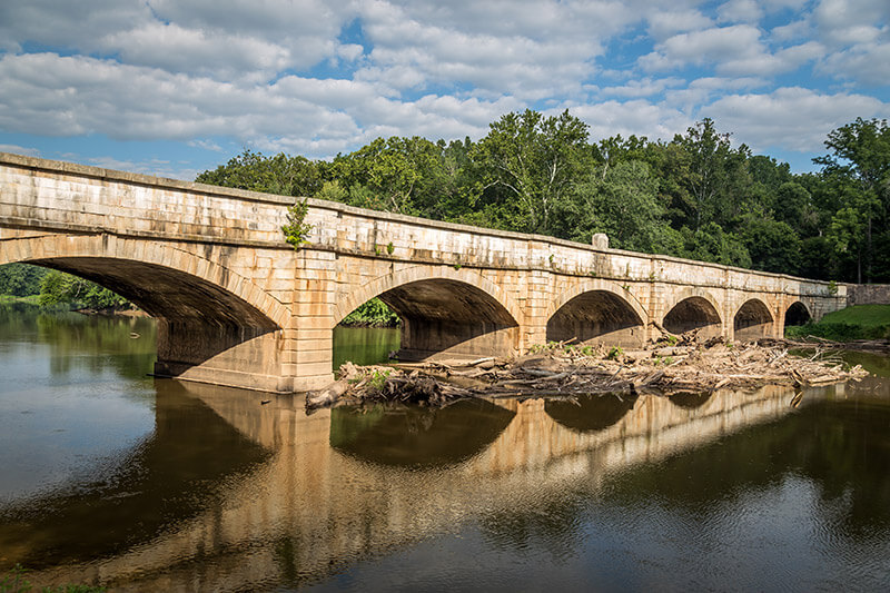
You don’t see that as much if you are looking upriver.
You can also walk across to the other side of the river, but there is not as much area along the banks of the river.
Also in the Area
While you are in the area, there are several other places you can stop to photograph.
Catoctin Mountain Park and Cunningham Falls State Park – These two parks are side-by-side, and both have trails that lead to Cunningham Falls. These parks are less than an hour away from Monocacy Aqueduct. See our Guide to Photographing Catoctin Mountain Park and Cunningham Falls State Park.
McKee-Beshers Wildlife Management Area – This is a great place to photograph sunflowers in late July or early August, and it is less than an hour away. See our Guide to Photographing the McKee-Beshers Wildlife Management Area.
Patapsco Valley State Park – This state park near Baltimore has some of the best hiking trails in the area, and is about a one-hour drive away.