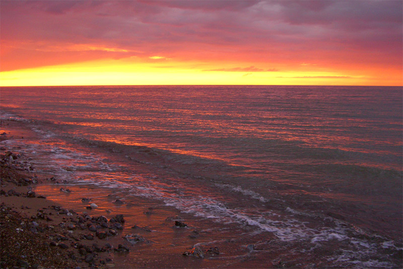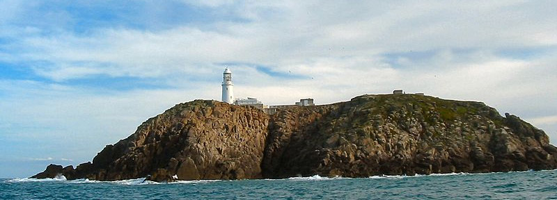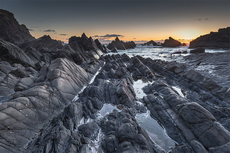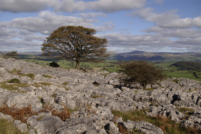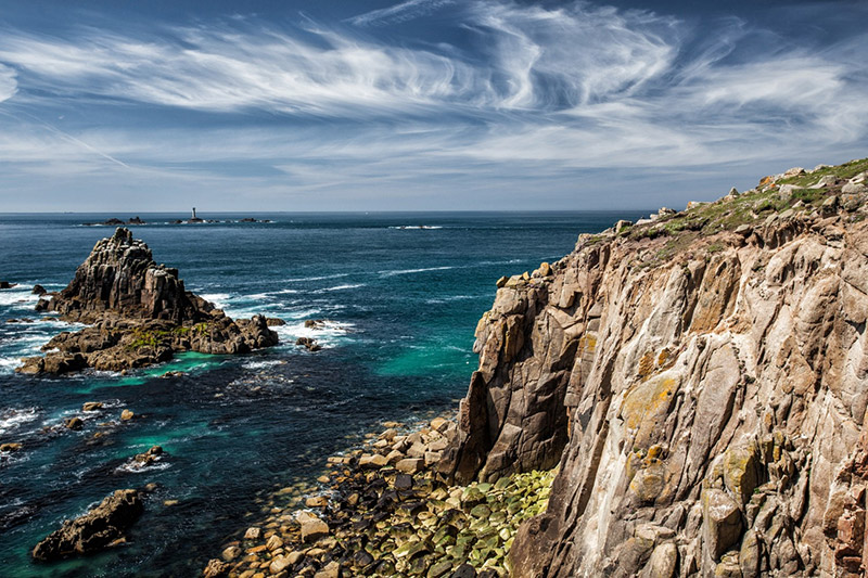
Cornish Rocks by Tom Eversley / CC0
England is filled with beautiful landscapes that are waiting to be photographed. From rugged coasts, to beautiful forests and picturesque lakes, there is plenty to be found. This page provides some details on many of the best places to photograph throughout England.
Use the interactive map below to see details of the locations covered on this page.
This page will continue to be updated in the future, so please feel free to share you own suggestions in the comments if you have other locations that you think should be included.
Best Photography Locations in England
The following locations are covered in this article (scroll down to see them all):
Jurassic Coast
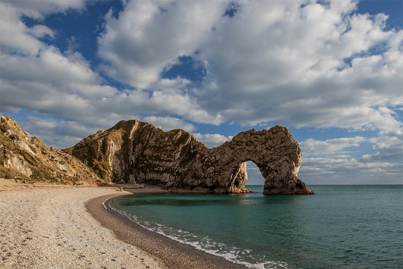
The Jurassic Coast is an incredibly scene stretch along the English Channel on the southern coast of England, and is recognized as a World Heritage Site. It runs for about 96 miles (154 km) from East Devon to Dorset. The cliffs and countless arches, rock formations, pinnacles and rock stacks are perfect for photography.
The coast is still eroding, and in most places that natural erosion is allowed to continue without human intervention. Rockfalls and landslips do occur at times.
The South West Coast Path runs along the coast, and beyond the boundaries of the Jurassic Coast. There are a number of well-known spots and highlights including Durdle Door, Lulworth Cove, Gad Cliff, St. Alban’s Head, Old Harry Rocks, Isle of Portland, Chesil Beach, and Lyme Bay.
There are plenty of places to stay in this area, and access is fairly easy.
The Lake District
The Lake District (or Lakeland) is a region of northwest England that is a popular tourist destination, and with good reason. It is home to a beautiful landscape that features mountains, forests, and, of course, lakes. In fact, the highest mountains and deepest and longest lakes in England are in the Lake District.
Some of the highlights of the park include Great Gable, Aira Force, Derwent Water, Haystacks, Striding Edge, Helvellyn, Blea Tarn, Friars Crag, Ullswater, Haweswater, Catbells, Ashness Bridge, Lake Windermere, and Skiddaw.
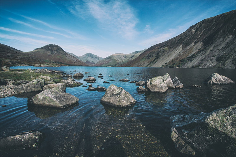
Lake District by Tom Eversley
Peak District National Park
There are a few main roads within the park, including A57 (Snake Road) between Manchester and Sheffield. Traffic and parking can be an issue during the busy summer months. Public transportation is available.
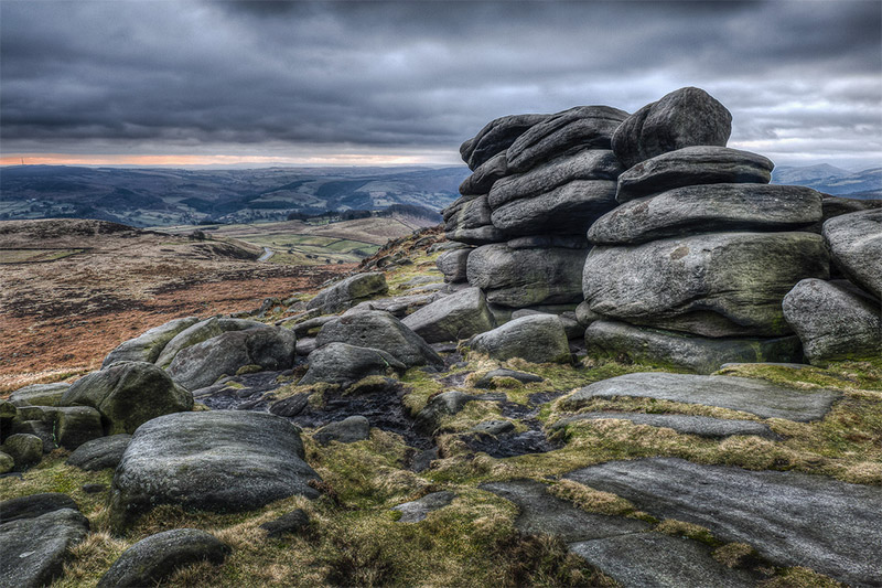
Higger Tor, Peak District National Park by Andrew Stawarz / CC BY-ND 2.0
Dartmoor National Park
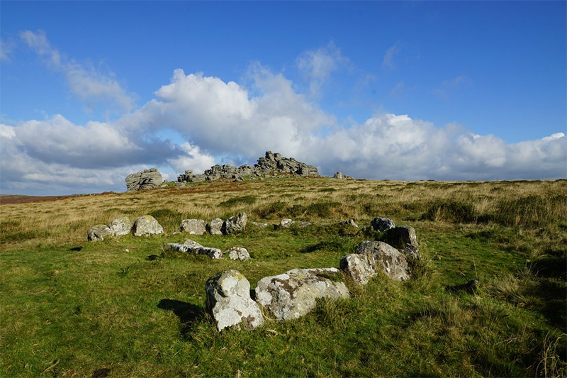
Dartmoor National Park by Rob Hughes / CC0
Wistman’s Wood
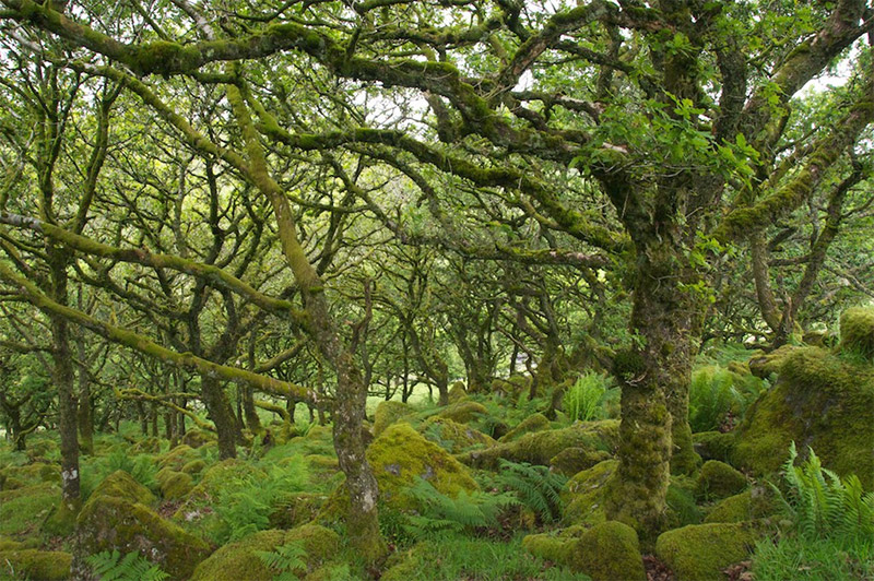
Wistman’s Wood by Brian Ralph’s / CC BY 2.0
Exmoor National Park
Some points of interest include Valley of the Rocks, Great Hangman, Little Hangman, and Woody Bay. The South West Coast Path also runs through Exmoor. A39 and A396 are the main roads that provide access to the park.
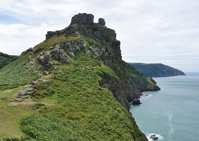
Valley of Rocks, Exmoor National Park by Nilfanion / CC BY-SA 3.0
New Forest National Park
There are plenty of trails to explore, and there are even open-top safari buses that will take you around the area. There are also plenty of places to stay.
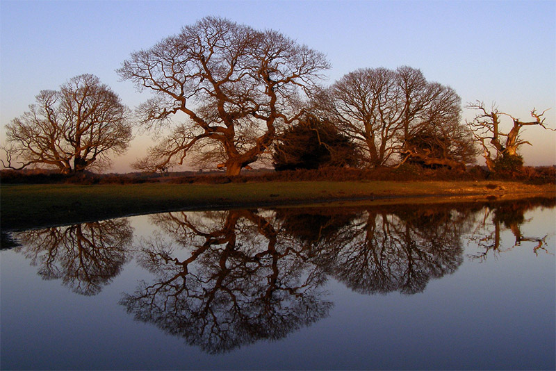
New Forest National Park by Jim Champion / CC BY-SA 2.0
Yorkshire Dales National Park
Some of the highlights of the park include the Ribblehead Viaduct, the Three Peaks, Janet’s Foss (waterfall), Bolton Castle, Cautley Spout (waterfall), Hardraw Force (waterfall), Kisdon Force (series of waterfalls), Swaledale, Gordale Scar, and Malham Cove.
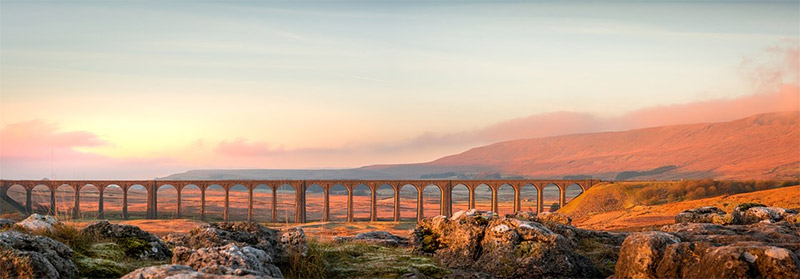
Ribblehead Viaduct, Yorkshire Dales by Tim Hill / CC0
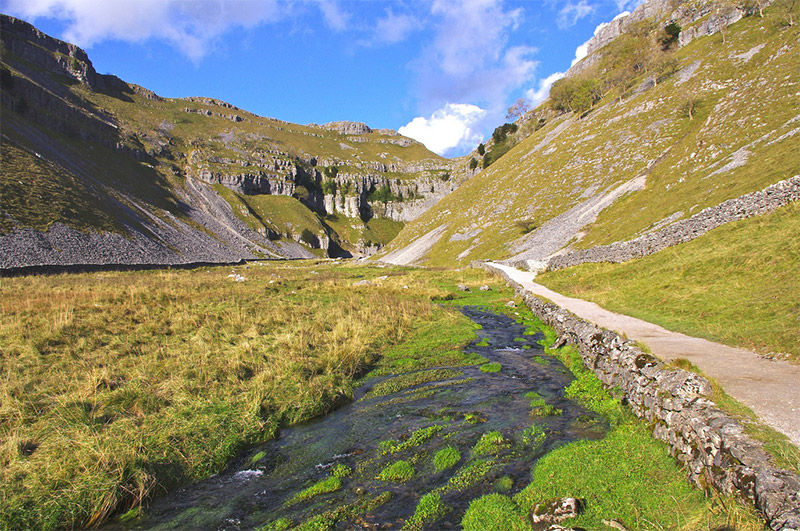
Gordale Scar by David Merrett / CC BY 2.0
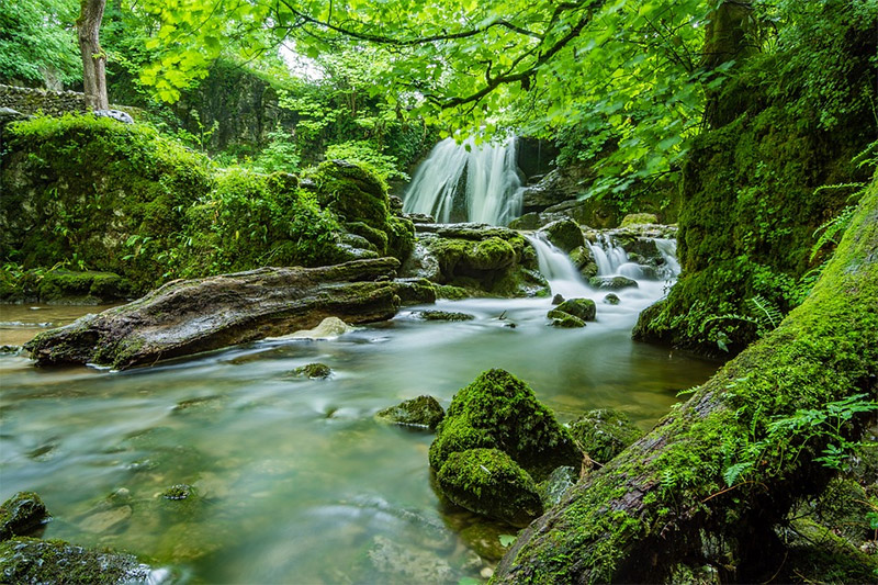
Janet’s Foss by Tim Hill / CC0
Broads National Park
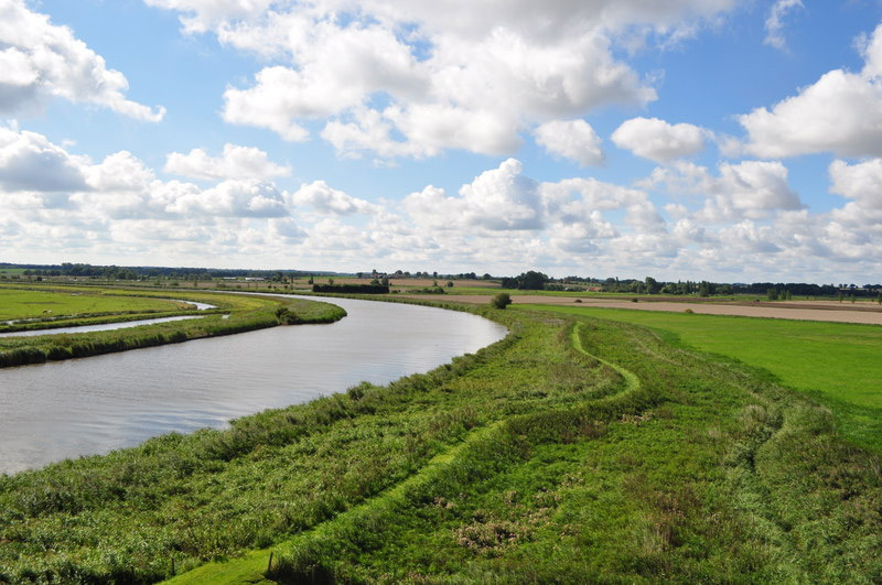
The Broads are a network of rivers and lakes within the counties of Norfolk and Suffolk in eastern England. There are seven navigable rivers and many lakes. This area is, naturally, popular for boating. It also features a beautiful landscape that is ideal for photography.
A47 is one of the main roads that runs through the area and provides access. The park is a great place to photograph wildlife, with many rare plants and animals.
North York Moors National Park
Popular walks in the area include the Cleveland Way, which surrounds the moors, and the Lyke Wake Walk, which leads across and over the moors. There are many small villages but few major settlements.
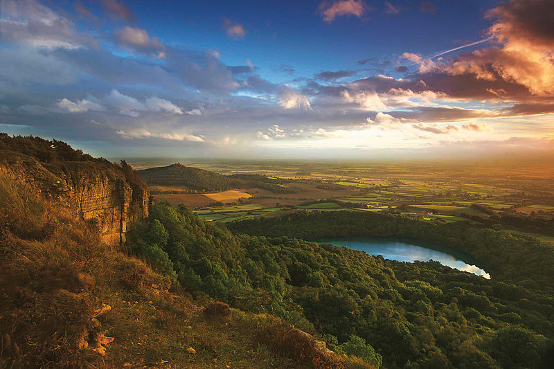
North York Moors National Park by Snowdenmc / CC BY-SA 3.0
South Downs National Park
South Downs Way is a long trail (100 miles, 160 km) within the park. The Western Weald area of the park features densely wooded hills.
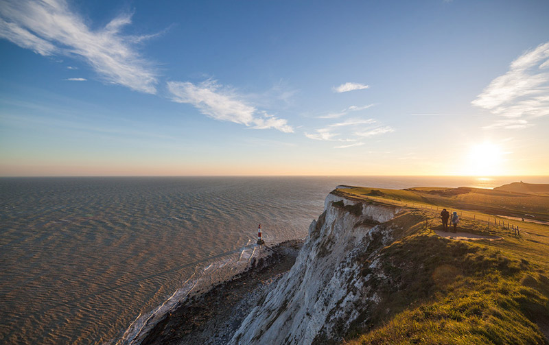
Beachy Head, South Downs National Park by WASD42 / CC BY 2.0
Northumberland National Park
The north area of the park features the Cheviot Hills, which are on the border of England and Scotland. The park also features moorland and forest. A68 is one of the main roads for accessing the park.
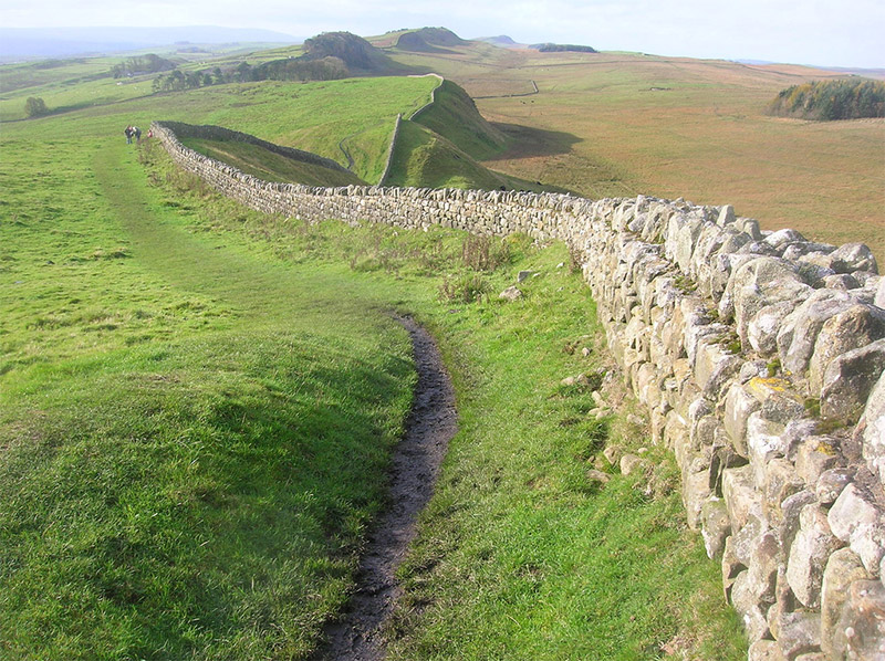
Hadrian’s Wall by quisnovus / CC BY 2.0
Northumberland Coast
To the east of Northumberland National Park, the Northumberland Coast is designated as an Area of Outstanding Natural Beauty (AONB). This area covers 40 miles (about 65 km) of dramatic coastline. You’ll find beaches, dunes, cliffs, and plenty to photograph. A1 runs somewhat along the coast, and then there are smaller roads that lead all the way to the coast.
Bamburgh Castle
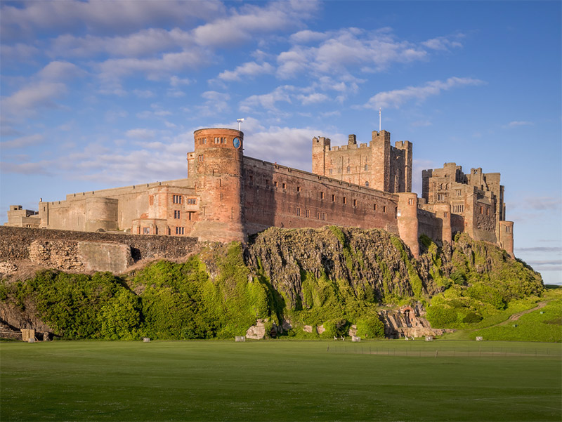
Bamburgh Castle by Matthew Hartley / CC BY-SA 2.0
Lindisfarne Castle
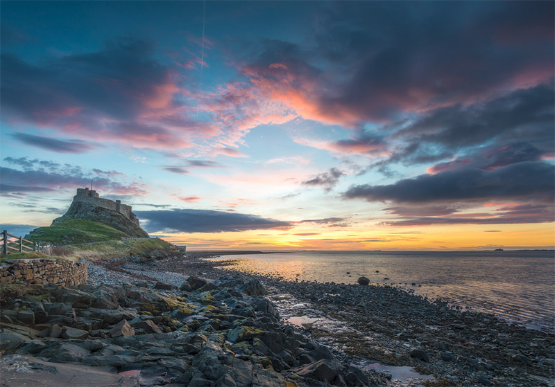
Lindisfarne Castle by Chris Combe / CC BY 2.0
Cornish Coast
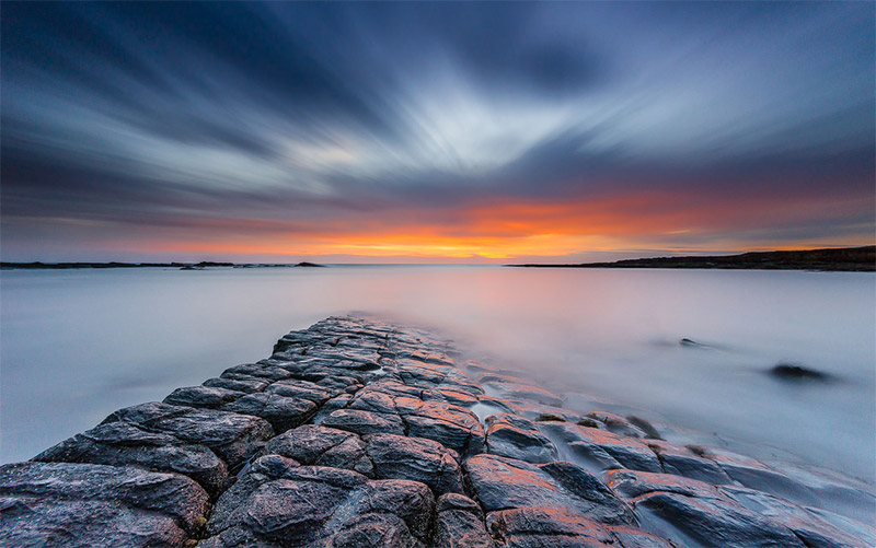
Cornwall, in southwestern England features and impressive, rugged coast. The north coast on the Celtic Sea is generally more rugged than the southern coast on the English Channel, although there are plenty of photographic opportunities on both coasts.
Watergate Bay is a great location, as is the fishing harbour of Polperro.

Cornish Rocks by Tom Eversley / CC0
Bedruthan Steps
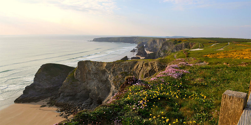
The Bedruthan Steps is a stretch along the north Cornish coast that features some impressive rock formations. At low tide you can walk along the rocks, but be carefully because the tides can be quite harsh.
North Norfolk
North Norfolk, on the east coast of England, features a nice coastline that is ideal for photography.
Isles of Scilly
The Isles of Scilly is a group of islands off the southwest coast of Cornwall. The southernmost point of England, St. Agnes, is a part of the Isles of Scilly. Designated as an Area of Outstanding Natural Beauty, this is a great place for photographers and tourists alike. The landscape here is much different than most of England, and the climate is generally warmer.
Badbury Hill
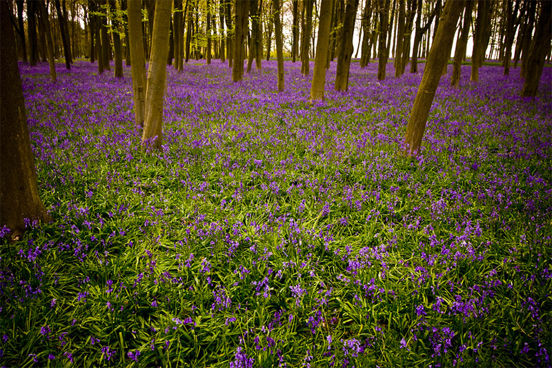
Badbury Hill Bluebells by Stuart Richards / CC BY-ND 2.0
Hartland Quay
Hartland Quay is located on the Atlantic coast of Devon, southwest of Exmoor National Park. This area is known for its beautiful rocky coast and very rough waters. The cliffs and rock layers are excellent for photography. If you visit at low tide you can walk out onto the rocks and beach.
White Cliffs of Dover
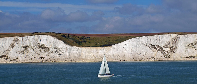
White Cliffs of Dover by Wilhei / CC0
St. Michael’s Mount
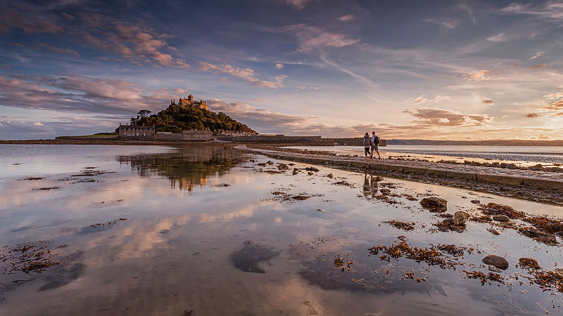
St. Michael’s Mount by Fuzzypiggy / CC BY-SA 3.0
Scarborough Castle
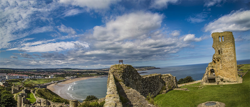
Scarborough Castle by George Hodan / CC0
Newbiggin Crags
Newbiggin Crags features limestone formations with a great view. It is located next to Farleton Fell, just northeast of Burton-in-Kendal.
Farne Islands
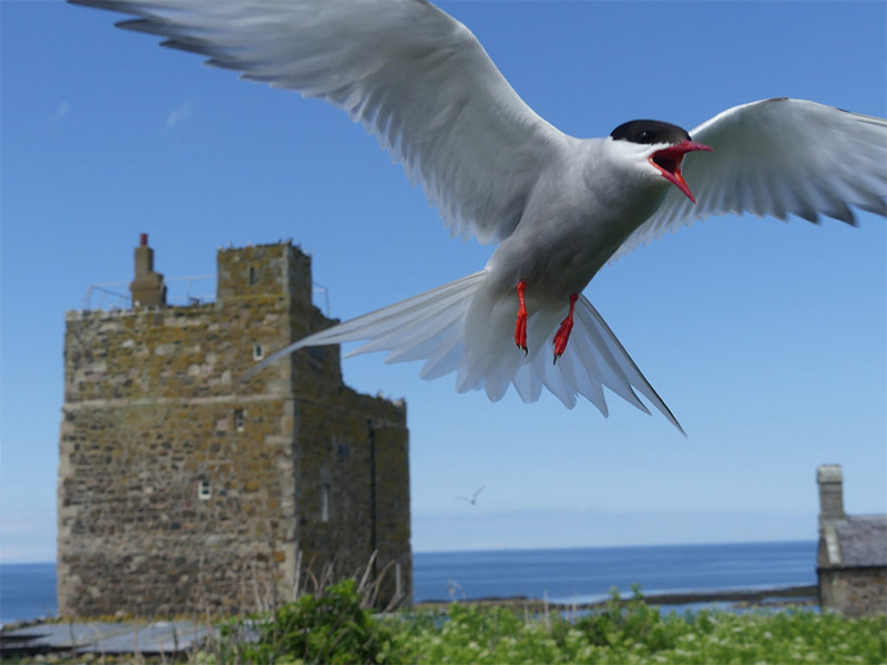
Farne Islands by Ian Preston / CC BY 2.0
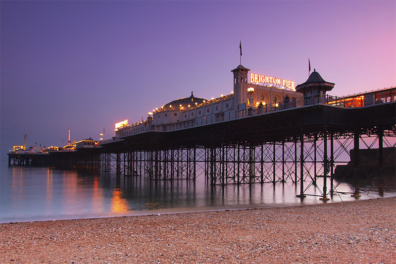
Brighton
Brighton is in southern England along the English Channel. It is located near South Downs National Park and is a nice place to photograph.
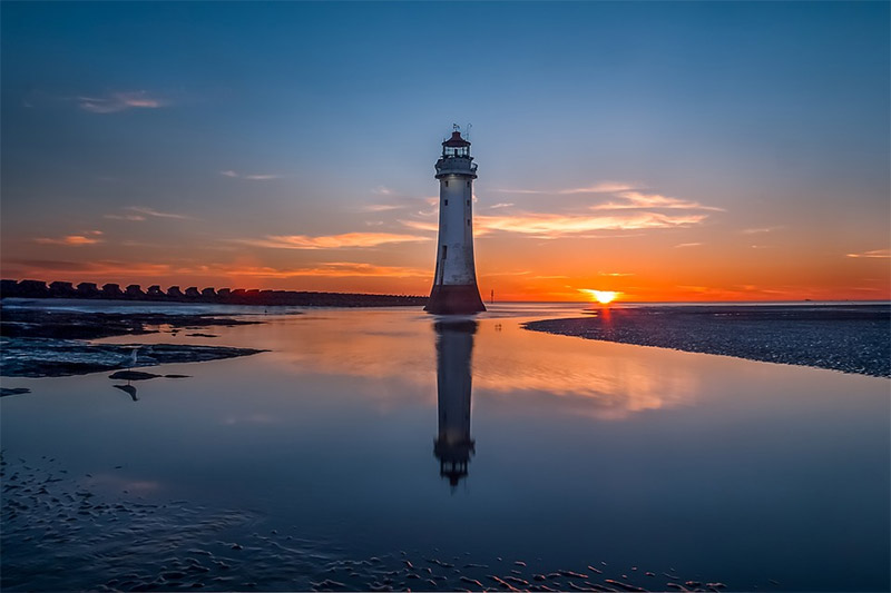
New Brighton Lighthouse
The New Brighton Lighthouse, also known as the Perch Rock Lighthouse, sits at the confluence of the River Mersey and Liverpool Bay. Although it is no longer in service, it is still a well-known landmark and a picturesque location.
London
For street photography and urban landscapes, London is an ideal location. There are many iconic buildings and structures that are worth photographing. If you’re heading to London, we recommend Jim Hamel’s book Photographing London: How to Find and Take Great Pictures.
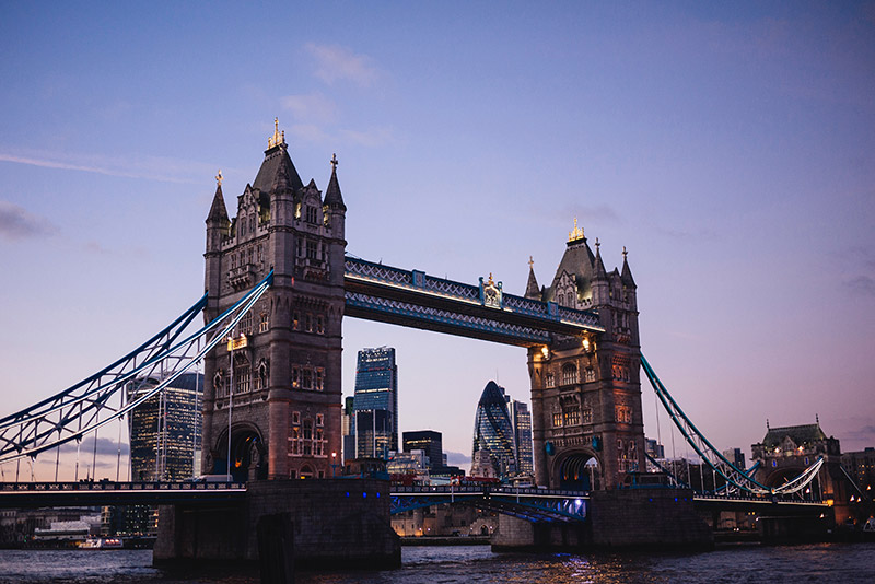
London by Susan Yin / CC0
Photo license: CC0, CC BY 2.0, CC BY-SA 2.0, CC BY-SA 3.0, CC BY-ND 2.0,
